Monday, May 30, 2011

Back Home in Auburn Again


This entry is for Saturday, 28 May 2011:
I stayed the night last night at my friends' beach house in York, ME. In the morning today I helped out with the summer furniture retrieval from storage, installing window A/C units and things of that nature. Marine fog and mist had settled in overnight and it was in the low 50s and cloudy up until early afternoon. Definitely not a beach day.
After helping out, Elise and I went to Ogunquit,ME to an art gallery called Panache to pick up some wall art that we ordered in April. Elise took her car and I took my bike to the gallery. We were pleased with the pieces that we purchased so I loaded them into Elise's car. I try to limit the time at this gallery because most every time we visit we buy or order something. Elise was checking out some new pieces in the gallery when I suggested that we go to the restaurant next door, Bintliff's, for lunch around 1 PM. Just in time before the next order got placed. We both had the lobster in a croissant and I had the shrimp & crab bisque to go along with it...all very good.
After lunch, Elise took the usual highway roads back to Auburn. Me on the other hand decided to take a different route to get back to Auburn. I know this is a surprise to those who have followed this blog thoughout - not!
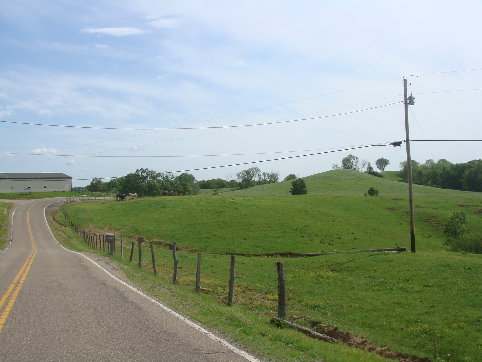
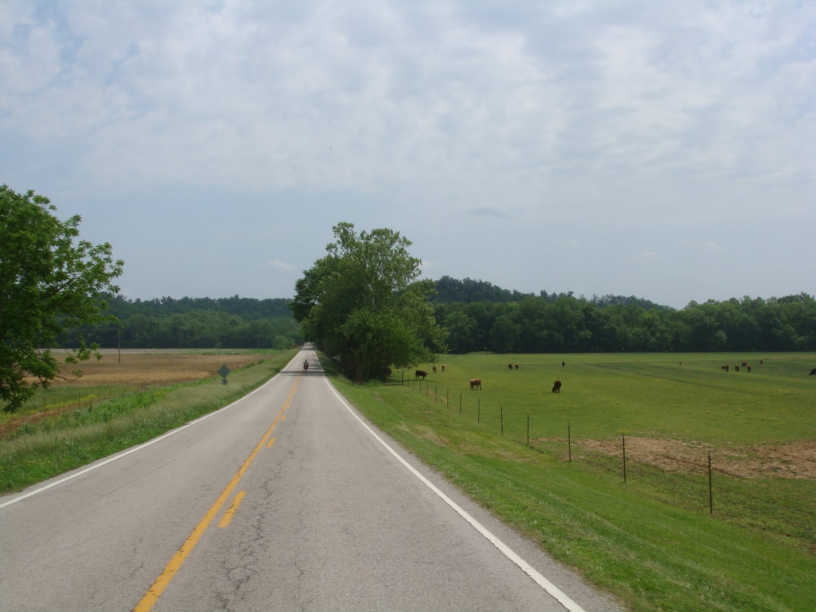
I took the shore road between Ogunquit and York along the water to Short Sands at York. I stopped for a couple of photos of Cape Neddick at low tide and the rocky coastline, just north of York. Then I took Rt. 1 south to I-95 south to Rt. 101 at Hampton, NH (the exit just before having to pay a toll). I followed Rt. 101 to Milford, NH and then took Rt. 13 south to Townsend, MA and to Leominster. Then I took Rt. 2 east to I-190 south to Worcester, MA and I-290 all the way to Auburn.
Elise took the requisite photo of me at the end of the ride around 6:00 PM which I have posted. Today's ride was a short 140 miles to get back home to Auburn from York, ME on the route I took.
During this trip the cumulative miles traveled was 6,070 in 16 days of total riding. That is an average of 380 miles per day...not bad of a retired guy.
I completely lucked out with the weather on this trip. I only experience rain for about 30 minutes on two occasions and had the rain gear on for a total of about one hour for the trip. This is amazing considering all the time I was traveling in KY, TN, OH and PA there were severe T-storms and potential tornado warnings issued almost every night. As other have said: Sometimes you are the windshield and sometimes you are the bug. I was definitely the windshield on this trip relative to the weather.
Since I am now back in Auburn, and safely at that, this will be my last entry for Part 1 of my spring/summer adventure for 2011.
Thanks to all who followed the blog and for the occasional comments. I will continue to endeavor to keep the shiny side up and rubber on the road.

To the "Right" Coast


This entry is for Friday, 27 May 2011:
There was a short segment of severe thunderstorms last evening after I checked into a hotel for the night in Wellsboro, PA. Because of this, my ride today started off moist and cloudy with some moisture still on the pavement.
My wife, Elise, told me she was going to Maine on Friday and Saturday to help our friends, Deb and Wayne, open their beach house at York, ME for the summer. Considering that I had already ridden across the country approaching 6,000 miles, I decided that I would make a run for York, ME today for a surprise and early return from my trip.
The route I chose to get to York was a combination of roads that I had not ridden on before and those I chose to avoid the usual holiday traffic choke points, specifically Danbury, CT on I-84 and where I-84 meets the I-90 (Mass Pike) in Sturbridge, MA.
I continued on Rt. 6 from Wellsboro to Scranton, PA. Town DPW employees were cleaning up leaves, branches and trees downed during the T-storm last night in several towns along this route I went by another 30-unit wind farm on a ridge along Rt. 6 around Troy, PA in the vicinity of Mt. Pisgah. There were a tremendous number of trucks on this route this morning and it took me over 3 hours to go the first 105 miles to Scranton. By the time I got to Scranton the clouds had burned off and the temperature was in the upper 80s. From Scranton, I took I-84 to Newburgh, NY and then Rt. 9W that goes up the west side of the Hudson River to East Kingston, NY. I stopped once along Rt. 9W to visit a park on the Hudson River and got a good shot of a lighthouse on the river. Took the Kingston - Rhinebeck Bridge from Rt. 9W east across the Hudson River and then followed Rt. 199 to the east to Rt. 44 east into Connecticut. When I was going through the town of Lakeville, CT in town traffic, a lady in front of me backed into my bike slightly trying to make room for the vehicle in front of her to parallel park. This is where my AIR HORNS came in handy so she stopped backing up with just a gentle bump. No damage - great.
From Rt. 44 in Canaan, CT, took Rt. 7 north into Massachusetts passing through Sheffield, Barrington and through Stockbridge. Went by the well know Red Lion Inn in Stockbridge and stopped for a photo of some ducks at a wildlife preserve along Rt. 7. I decided to zigzag going east and north to position myself to get to York, ME. So I took the Mass Pike (I-90) east in Lee and then I-91 north in Springfield. Followed I-91 to Greenfield and then took Rt. 2 east to I-495 in Littleton, MA. After stopping for rest and gas in Littleton, I took I-495 north to I-95 north into New Hampshire and Maine. Stopped at the New Hampshire state liquor store to purchase some pre-made margaritas so would be able to celebrate my "right" coast arrival with my wife and friends. I arrived in York, ME around 7:15 PM and took the local tour of Long Sands Beach, Nubble Lighthouse and Short Sands Beach just as the sun was setting.
Had Maine scallops at Harry's at Short Sands before heading over to the beach house for my surprise arrival around 8 PM. As luck would have it Elise and Deb were out shopping when I arrived so I had to wait a while to serve up the margaritas that I toted on my bike from New Hampshire. Total ride today was the most of my trip to date, 525 miles. It was a long day and a long ride but worth it to celebrate with my wife and friends in York, ME.

Thursday, May 26, 2011

Heading Back to Massachusetts


This entry is for Thursday, 26 May 2011:
Thunderstorms occurred overnight in the Athens area and thus roads were wet at the beginning of the ride today...just enough to cover my bike with road grime! We expected to encounter some rain based on the various weather report and weather patterns predicted. Gerry decided to ride some of the morning route with me before splitting up to travel back home.
We took northeasterly secondary farm roads from Athens to Zainsville, OH, over roughly 75 miles. Along the way we had a deer cross in front of us and saw Amish men in a horse-drawn buggy along one of the farm roads. I was not fast enough with my camera to get a picture of this.
Once we got to Zainsville, we took the requisite "end of ride" photo (posted) and said out good byes. Gerry headed west on Rt. 22 to Cincinnati to a Harley dealer who will service his bike and be the pick-up point for shipping his bike back to CA. He will be flying out of Cinci on Friday morning. I headed east on Rt. 22 from Zainsville and stayed on 22 all the way to Steubenville, OH. This was through more OH farm country. The I took Rt. 7 north to Youngstown, OH. The southern portion of Rt. 7 parallels the Ohio River which was swollen and running swiftly after recent rains. At Youngstown I took I-80 east into Pennsylvania. Then I took Rt. 8 north to Rt. 52 north to get me to Rt. 6. Rt. 6 runs east - west across much of PA. This road has a lot of scenic dots on the AAA maps so was must ride route for me. Rt. 6 follows along the northern boundary of the Allegheny National Forest and the Susquehannock National Forest and goes by several water bodies and parallels a river.
Overall, today's ride was 490 miles of delightful riding. I did not hit any rain along this route while riding. Today was the 14th day of riding on this trip and, with two minor exceptions totaling less than one hour, I have not encountered any serious rain...knock on wood. This is amazing since every night the news warns of severe T-storms and potential tornadoes. I have been fortunate to not get caught up in either so far. I have posted a few shots along the ride today.
Tomorrow I am continuing my trek back to the east following the scenic dots where it makes sense to do so in the general direction I am going.
I should also mention that all throughout this trip wherever we went people would ask us where we were from. Gerry would say that he was from southern CA and I would say that I was from MA. Then people would be dumbfounded as to how and why left and right coast riders would be riding together. We probably went through this 3 to 4 times per day when stopping for gas, eating in restaurants, and checking into/out of hotels. It made great conversation with people every day.

Mountain Riding and Definition of a Regular Customer


This entry is for Wednesday, 25 May 2011:
Today's ride was 370 miles from Middlesboro, KY to Athens, OH. We left our hotel in the morning after overnight thunderstorms in a thick fog, expecting to encounter some rain during the day. What we ended up experiencing was wet roads in the early morning, followed by fog burn off and dry roads from late morning on. The route taken was a northerly route through the Boone National Forest. Lots of mountain road riding with hills and sharp turns. The specific routes were 25E, 119, 421, 66, 11, 77, 460 into the town of West Liberty, KY, then 7 to Grayson, KY. In the morning we travel through some coal mining towns and also encountered two interesting road features. One was rock overhung roadways and the other was a single lane, unlined, rock tunnel with no traffic signals at either portal. Must be interesting if two vehicle meet in the tunnel! Fortunately, this did not happen to us.
While in West Liberty, we stopped for some home cooking at Pattie's Place. Gerry and I both had the lunch special which was pork loin, spare ribs, potatoes and green beans. After we ordered our food, a hunched over elderly gentleman in his late 70s to early 80s arrived at the restaurant. On his way in he exchanged pleasantries with us. Pattie yells into the kitchen that "Merle" is here seeing this fellow enter her restaurant and sit down at "his" table. Pattie the proceeds to tell us that Merle has eaten the same lunch at her restaurant for the last 23 years every day,except the two days per year she is not open. What did he have you wonder? He has had 2 pieces of fried chicken, 2 eggs, mashed potatoes and gravy, and a coffee every day for the last 23 years! To me, Merle is the definition of a regular customer.
While at Pattie's Place, we also tried the butterscotch pie. It was good and a first for me. Just what I need is another thing that I really like that has a ton of calories in it!
The whole meal experience was negatively impacted by patrons in the restaurant who were smoking. Smoking in restaurants was prevalent in TN and KY, for all the local restaurants.
Saw lots more single wide homes throughout our route. I took another photo of a single wide that had a dozen abandoned vehicles in the yard around and have posted this along with some other shots along the route.
We arrived at Grayson earlier than we expected and decided to extend our ride to Parkersburg, WV as a destination, adding on about another 100 miles. From Grayson we took I-64 east for about 50 miles and then went north along Rt. 7 which parallels the Ohio River over some of this stretch of road. When we got to Parkersburg we tried to make a hotel reservation only to be told repeatedly - no vacancy. It appears that there was a softball tournament going on and all the hotels were booked up. So we got a hotel in Athens, OH, about 25 miles west of Parkersburg for the evening. And there you have the why we ended up in Athens. By the way...Athens is the home of Ohio University...not be be confused with The Ohio State University which is located in Columbus.
Tomorrow, Gerry and I will be heading in different directions to return to our respective homes on opposite coasts. Gerry will be heading back to California flying out of Cincinnati and shipping his bike back to CA from Cinci. I, of course, will be heading back towards Massachusetts tomorrow.

Tuesday, May 24, 2011

Deals Gap and Cumberland Gap


This entry is for Tuesday, 24 May 2011:
Today's ride was quite short in total distance, a mere 275 miles. However, we road in three different states today: TN, NC and KY. The route taken was Rt. 64/74 east out of Cleveland, then Rt. 129 north to the Deals Gap Motorcycle Resort and over the Dragon's Tail, to Rt. 411 east and north to Rt. 25E north. As we finished the ride a thunderstorm was brewing as we approached and exited the Cumberland Gap tunnel. This ride brings the cumulative trip miles to in excess of 4,500 miles to date. We started in Cleveland, TN in the morning and ended in Middlesboro, KY. Middlesboro is located in the southeast corner of KY on the north side of the Cumberland Gap.
With the exception of the Dragon's Tail section of Rt. 129, this was a leisurely ride with nice scenery that included mountains, lakes, rivers, streams, farms and small towns. I have posted a few representative photos along the route.
The Dragon's Tail is a section of Rt. 129 that has 318 curves in 11 miles of challenging roadway. This road typically takes the life of one excessively speeding biker per week on average. Gerry and I had our photo taken at Deal Gap Motorcycle Resort which I have posted. I also posted the "tree of shame" that includes parts of crashed motorcycles strung up on the tree. Fortunately, we did not make a contribution to the "tree of shame" today.
Tomorrow's ride will be northerly mountain riding over secondary roads in Kentucky.

Monday, May 23, 2011

T-Storms and Heartburn Relief


This entry is for Monday, 23 May 2011:
Last night we had severe thunderstorms with heavy rain and light hail about 4:30 AM. Fortunately, the hail was small and no damage to the bikes parked outside occurred.
I had "heartburn" over the oil indicator light incident that I experienced yesterday so we decided to have my bike checked at the closest Harley dealer that is open on Mondays. That turned out to be Wildcat Harley-Davidson located in London, KY. London was roughly 80 miles east of the Columbia, KY hotel where we stayed last night.
Today's ride started out wet with us donning full rain gear from the hotel to the HD dealer.
I got the bike checked out and repaired in about and hour and a half. Turned out that the oil indicator sensor was defective and needed to be replaced. This is a minor repair and was a great relief to me as it avoided costly and time consuming repairs. Anyway, we were back on the road from the dealer around noon.
From the HD dealer the weather had cleared up and we headed south and west to get us back on the planned route which as you may have guessed follows roads with the AAA map scenic route dots.
This route took us through the Boone National Forest. We went through several rural communities in KY and TN before hitting Rt. 111 and Rt. 60 into Cleveland, TN. Cleveland is located to north and east of Chattanooga and is the home of Lee (as in Robert E.) University. This ride today totaled 350 miles.
After several days of riding through parts of rural America and making some observations, I have a few questions for my blog readers:
1. What is the most common home type in rural America?
2. What is the most common luxury home type in rural America?
3. How can you tell how many generations of family have lived at a given property?
Read on to the end of today's blog for my answers to the above questions based on observations on this trip.
Overall, today's ride was good beyond the early light rain we had in the morning. We had lunch at the Ole Country Cafe in Robbins, TN. Gerry and I both had the local special: "Roast Beef Manhattan." Think of a hot roast beef sandwich with mashed potatoes in the middle of it covered with brown gravy. Yum! For dinner in Cleveland we had Italian at Roma's downtown. I had the Penne Bolognese which was very good. Of course, Paul, we had desert at the local DQ.
Tomorrow we are heading east into western North Carolina to visit Deals Gap and the Dragon's Tail (a.k.a. Rt. 129) and then on to a bunch of mountain roads in TN and KY, generally heading north.
Answers to questions:
1. Single wide modular home.
2. Double wide modular home.
3. Divide the number of abandoned vehicles of like kind in the yard by 3 (e.g., number of abandoned pickup trucks, or number of abandoned quads).

Sunday, May 22, 2011

Different Trace, More Whiskey and Water


This entry is for Sunday, 22 May 2011:
In yesterday's blog I forgot to bring up the irony associated with the visit and tour of the Jack Daniels's Distillery. That irony is that this distillery is located in a dry county. In Moore's Coounty there can be no consumption of alcohol. JD has had special legislation passed to allow them to make whiskey and sell it at their facility in 750ml bottles only, but you cannot drink or sample it at the distillery.
We had a good 390-mile ride today from Clarksville, TN to Columbia, KY. We took a short western route to the Land Between the Lakes National Recreation area at Lake Barkley. Lake Barley is a large lake that is located in northern TN and southwestern KY. What is interesting about this lake is that it is split in two by a 70-mile long narrow land section that comprises the recreation area. We took the "Trace Road" that is a N-S road that goes right through the heart of the recreation area starting in TN and ending in KY. This was a great ride through the woods but did not include any vistas to see the lake on either side. So to get a view of the lake we took Rt. 80 north Trace Road and at the Rt. 80 bridges and causeways to the north and south of Trace Road. Along Trace Road we had a fox and a deer cross the road up ahead of us.
After completing this run, we headed west on Rt. 24 but missed the exit for the Western Kentucky Parkway. The intent to go to the Maker's Mark Distillery in Loretto, KY, about 170 miles to the east of the Lake Barkley as the crow flies. This mess-up took us on an unintended loop to the south, west and north back on track to the Parkway and cost us about 30 miles and 30 minutes of time. Oh well, who cares when you are retired!
From the Western Kentucky Parkway, we took Rt. 70 that goes south and east through Mammoth Cave National Park, a nice section of riding. Then we took Rt. 31E to the north and east to take us into Loretto. Unfortunately, the last hours section of Rt. 31E was done in rain and a thunderstorm. We avoided the brunt of it but nevertheless had to put on the rain gear for the first time on this trip. I also had a problem with my oil indicator light indicating a problem that was cause for concern to me getting stranded on the wilderness. Fortunately, with some oil top off at the Maker's Mark Distillery, the indicator light went off and we made it successfully about 50 miles south of the distillery into Columbia, KY for the evening stop.
More thunderstorms are expected tonight in the Columbia area and T-storms are predicted for tomorrow. Should make the intended ride south back into TN interesting. I am planning a stop at a Harley dealer in Chattanooga, TN to have my oil indicator light diagnosed further.

Saturday, May 21, 2011

Departing the Trace and Visiting Jack Daniel's Distillery


This entry is for Saturday, 21 May 2011:
Paul commented today that he thought we were a little light visiting Dairy Queens on this trip. We agree and decided to do something about it as you can see in the first photo.
Today's ride was 375 miles in total. We finished riding the Natchez Trace in the morning taking it from Tupelo to Route 412 in Gordonsburg. This point of departure was about 13o miles north of Tupelo but about 52 miles before its end point near Nashville. The stops we made today on the trace were a bust in that there was nothing really to see. For example, we stopped at the Napier Open Pit Mine stop and found a hole in the ground with large trees growing withing...not much to see. We departed at Rt. 412 to make a loop to the south and east to go to the Jack Daniel's Distillery located in Lynchburg, TN. After the JDD tour, we looped back up to the north and west on different secondary routes to end up in Clarksville, TN adjacent to the Cumberland River for the night. Clarksville is located to the north and west of Nashville.
Highlights for the day included the following:
The Jack Daniel's Distillery tour. See photos of facility and Gerry and I at Jack's statue.
Enjoyed local cuisine at both lunch and dinner today. Had lunch at Stan's Restaurant in Columbia, TN on route to the distillery. Enjoyed a great grilled chicken (southern style) salad with my favorite red french dressing. This was followed by some outstanding home made banana pudding. Dinner was at the Catfish House in Clarksville. Had the combo of grilled catfish and fried shrimp. Very good. Finished this off with a stop at DQ as noted above.
Tomorrow's ride will take us over the "Trace Road" that goes through the Land Between the Lakes National Recreation Area located a short distance west and north of Clarksville. Thereafter, we plan to visit the Maker's Mark Distillery in Loretto, TN.